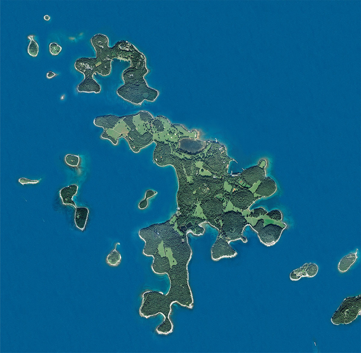
The present day boundaries of the National Park were set in 1999 and comprise the land, the surrounding sea with the seabed and cover an area of 33.9 km2.
The length of all island coastlines amounts to 46.8 km. The most indented islands are Veliki Brijun (25.9 km) and Mali Brijun (8.3 km).
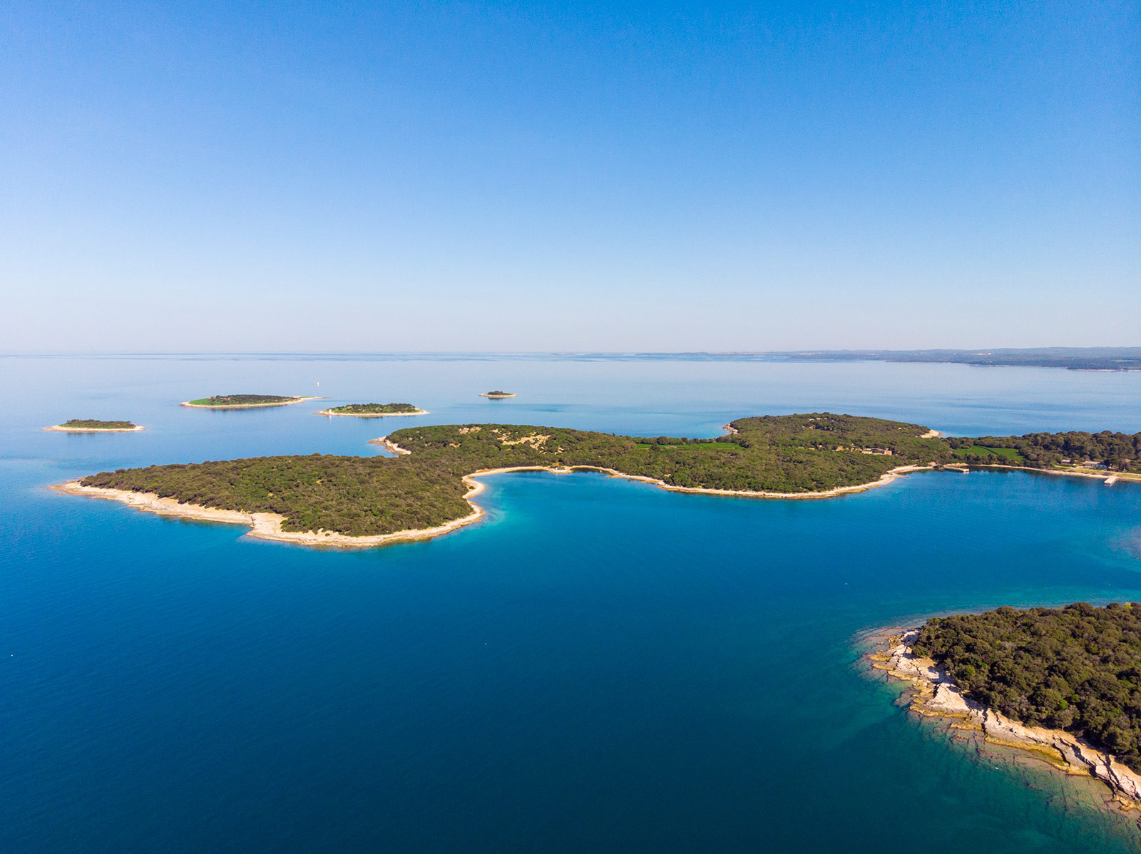
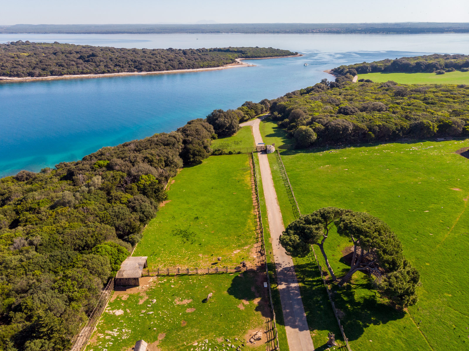
The shores are mostly low and rocky but easily accessible due to the horizontal stratification of the rocks, and in some bays gravel and sand can be found. The Brijuni National Park includes 14 islands.
Islands of the National Park
- Veliki Brijun
- Mali Brijun
- Sv. Marko
- Gaz
- Okrugljak
- Supin
- Supinić
- Galija
- Grunj
- Vanga (Krasnica)
- Pusti otok (Madona)
- Vrsar
- Sv. Jerolim
- Kozada
From a geological and geomorphological point of view, Brijuni represent a continuation of the western Istria, the so-called “Red Istria”.
 Parks of Croatia
 EU projects
 English


